Professional and Precise Land Surveying Services with the High Quality.
Your Trusted Digital Land Surveying Partner in Sydney
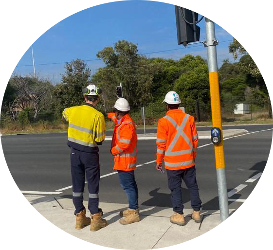
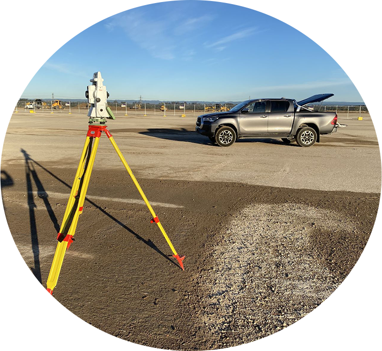
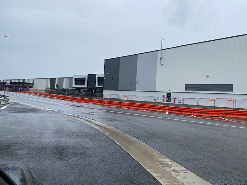
Engineering and Construction Surveys
Engineering and construction surveys play a crucial role in the planning, design, and construction of various infrastructure projects. Our main key areas are related to engineering and construction surveys; Topographic Surveys, Boundary Surveys, Geotechnical Surveys, Construction Staking, Structural Monitoring, and 3D Laser Scanning. We have improved the accuracy, efficiency, and safety of engineering and construction surveys, enabling better project planning and execution.
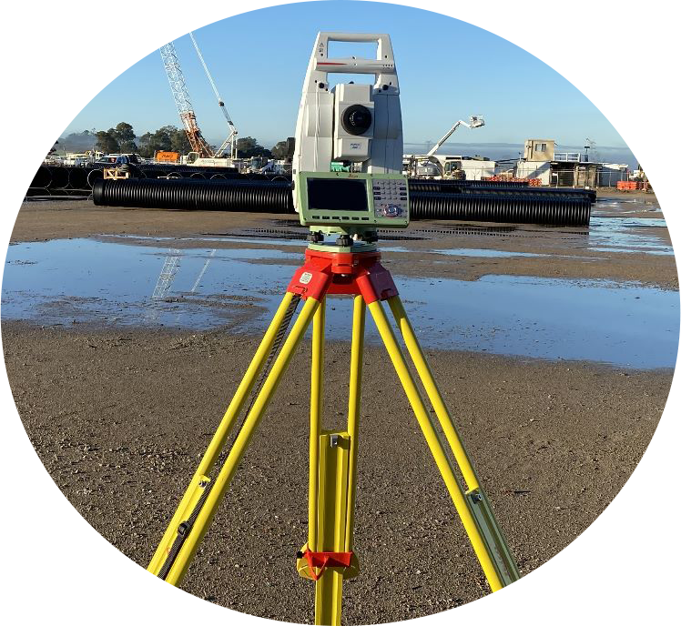
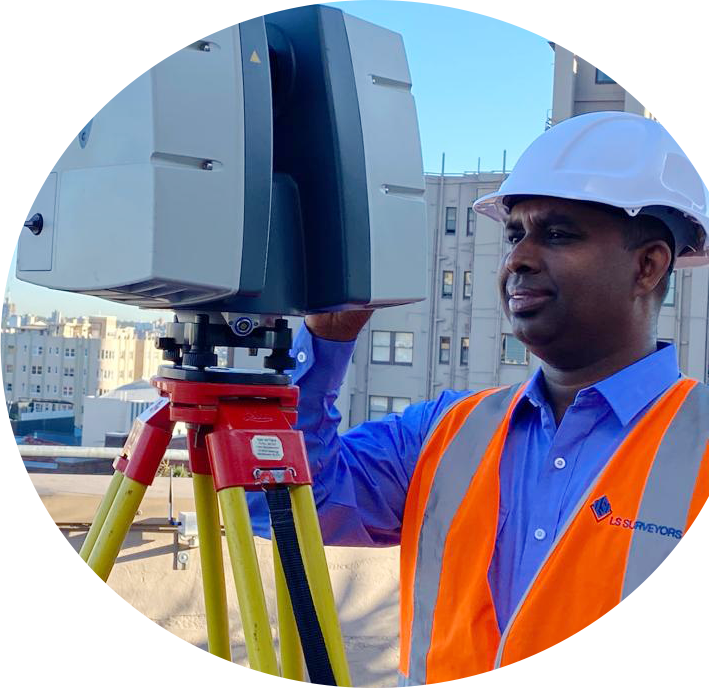
Laser Scanning and 3D Modeling Surveys
Laser scanning and 3D modeling surveys are advanced surveying techniques that utilize laser technology to capture detailed three-dimensional information about objects, structures, and environments. 3D modeling surveys involve the creation of digital models based on laser scanning or other data sources. After capturing the point cloud data, specialized software processes the data to generate a highly detailed three-dimensional model.
Advanced laser scanning, utilizes cutting-edge technology to capture intricate three-dimensional data that accurately reflects the surface or structure of an object.
Cadastral Surveys
Cadastral surveys are a specialized type of surveying that focuses on defining and documenting the boundaries, dimensions, and legal aspects of land parcels. These surveys are essential for maintaining accurate land records, determining property ownership, and facilitating land transactions. Some of our key points about cadastral surveys; Boundary Determination, Land Division and Subdivision, Parcel Identification, and Boundary Markers. Cadastral surveys require expertise in legal aspects, boundary determination, and accurate measurement techniques.
Land Subdivision
Navigating the complex process of land development and subdivision can be daunting, even for experienced developers. At LS Surveyors, we understand the challenges involved and offer our expertise to guide you through the journey.
Whether you’re dealing with a vast greenfield site or a smaller two-lot subdivision, you can trust that you’re in capable hands. Our team of highly regarded Registered Land Surveyors excels in all aspects of cadastral boundary surveying and land titling matters.
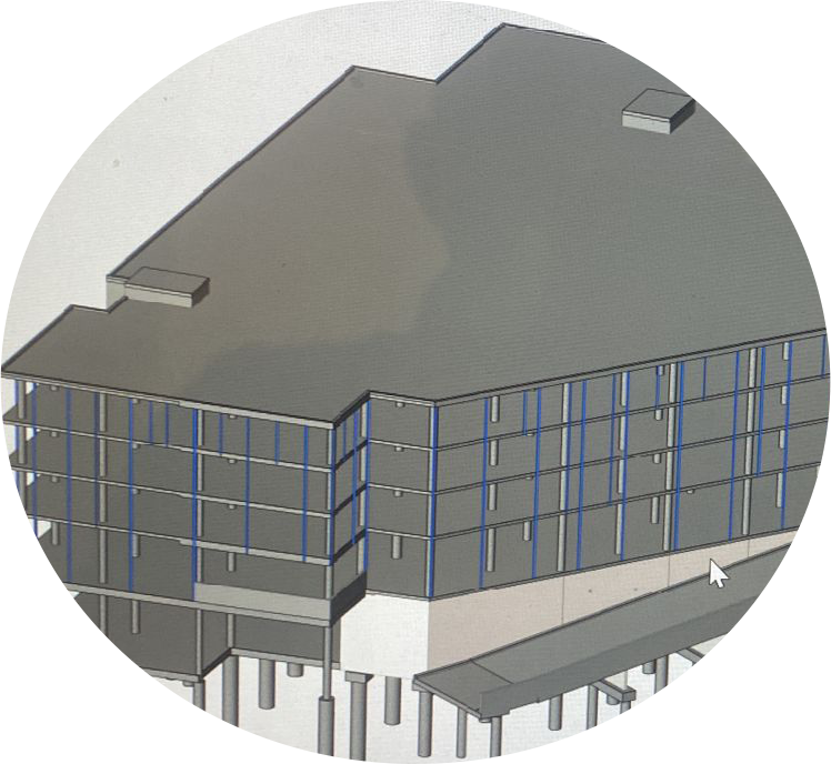
Detail Surveying & Development Application
Why not leverage the numerous benefits that 3D laser scanning offers over traditional land survey methods? Our proficient team utilizes the latest technology to efficiently and precisely capture large volumes of data in a non-intrusive manner. With a capability to collect over 2 million data points per second, we deliver the output in a variety of readily usable formats. Our skilled team harnesses the power of 3D laser scanning to provide swift and precise data collection for your upcoming project.
Civil & Structural Design Services
At LS Surveyors, we understand the critical importance of the unseen elements that form the backbone of our infrastructure. Our team of civil engineers is dedicated to designing, creating, and ensuring the reliability of everything that goes on behind the scenes.
We recognize the vital role that civil engineering plays in shaping the world around us. From transportation networks to water supply systems, our engineers work diligently to create sustainable and efficient infrastructure that we rely on every day.
When you choose us, you can trust that our team of dedicated civil engineers will provide you with outstanding service and expertise.
As development experts, we pride ourselves on delivering exceptional outcomes that inspire.
We are a group of Registered surveyors based in Sydney committed to providing the best surveying solution for your development.
Our journey began over 10 years ago as a humble local surveying company in regional Sydney. Since then, we have grown exponentially in both strength and reputation, forging valuable partnerships and collaborations along the way.
Our extensive network allows us to leverage diverse expertise and perspectives, ensuring that every client receives tailored solutions that are innovative and forward-thinking. We bring together professionals from various disciplines to collaborate seamlessly, driving the success of your project.
Choose our experienced team of development experts, and together, let’s create something truly extraordinary.
Why Choose LS Surveyors
- 1We have established ourselves as a trusted provider of quality surveying services in the Greater NSW region, including Greater Sydney, Hunter, and Wollongong Basin.
- 1Our team of experienced surveyors is equipped with the latest technology and methodologies to ensure accurate and reliable results.
- 1Our commitment is to help you achieve your project goals efficiently and economically

Our Projects

What our customers say…


Frequently Asked Questions
I would like to subdivide my property, what do I need?
You will require subdivision approval through either Council or a Private Certifier. In order to obtain approval, you will require a Preliminary Plan of Subdivision to submit with your application. Once approval has been obtained, we prepare the final Plan of Subdivision and associated documentation for Lodgement to Land Registry Services. Our service includes obtaining required consent signatures and lodgements to authorities.
Do you need my address to provide a fee proposal?
Yes, we require the address of the property to provide you with a fee proposal. We look at property using the government website SIX MAPS which shows us the survey information that is in your area and the existing features of your property. From this information, we are able to provide an accurate and cost-effective fee proposal.
My designer is asking for a survey, what do I need?
When it comes to detailed survey services, you will require either a detail and Level survey or a Detail and Identification Survey, depending on your Council area. A Detail and Level Survey includes existing features of the property, adjoining neighbouring properties, visible services and location of easements. A Detail and Identification Survey comprises all of the above, coupled with the exact location of the properties boundaries.
What is a DWG file and why can’t I open it?
All our Detail and Level Surveys and Detail and Identification Surveys are provided to you in two formats. A PDF file is for your viewing and records and a DWG drawing file. The DWG drawing file is compatible with software such as AutoCAD and Revit and is for you to provide to your designer.
Do I need to be home when the surveyors attend to my property?
It is generally not necessary for you to be home when a LS land surveyor attends the property. For the majority of surveys, we only need access to the front yard and backyard. It is necessary that pets are safely secured whilst the survey is being carried out.
I am about to start construction; what surveys do I need?
You will need to have the proposed works set out by us. This involves the surveyor attending the site and placing physical marks in accordance with the approved architectural plans. We provide a sketch showing where the marks are placed which is signed by a Registered Surveyor. Trades such as concreters and bricklayers follow the physical marks and the sketch to complete their work.